Every time I see an old pictorial map, I can't help but smile. The idea of a tourist guide showing you how to get from one place to another using nothing but pictures and clever drawings is charming; it's like a trip back in time when the world was simpler and more fun. Even better: pictorial maps are still around today! In this post, I'll take a look at why we love pictorial maps, where they came from and why they're still so popular today.
Pictorial maps were a staple of tourist information in the early 1900s.
Pictorial maps were a staple of tourist information in the early 1900s. They were often published as posters, and many women were involved in creating them for public consumption. These ladies were responsible for extremely creative designs, and we're not talking about just any old picture here; these things are truly works of art!
Pictorial maps have done a phenomenal job of keeping us entertained for over 100 years.
In the early 1900s, pictorial maps were a staple of tourist information. The colorful and whimsical images helped explain the region's history, culture, geography, and attractions in an accessible way that would appeal to tourists visiting new places. The style was used by many artists throughout this time period including Elizabeth Shurtleff who created her first pictorial map in 1936 while working as an assistant cartographer at Cornell University. Another notable artist is Ruth Taylor White who created several different kinds of pictorial maps from 1930-1940s including ones about Chicago neighborhoods or New York City landmarks like Central Park Zoo!
Pictorials are nostalgic because they remind us of simpler times when everything wasn't so complicated-- A fun whimsical illustration and pure 1930s comic satire, where stereotypes and political correctness were viewed through a much broader lens.
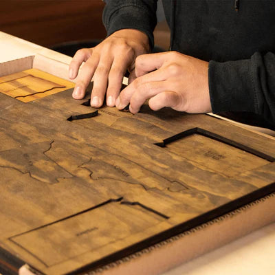
Remember to check our wooden puzzles out! We have a curated selection of these fantastic maps. Thanks for reading and visiting our website!